

By Isabella Rodriguez
Four Seasons, One Region: What Durham’s Climate Looks Like Year-Round
Durham sits in the humid subtropical climate zone, classified as USDA hardiness Zone 8a. Winters are cool, with average lows around the upper 20s°F, while summers often see highs in the upper 80s°F and higher humidity. Annual rainfall is consistent, nearly 47 inches spread more evenly through most months, though September tends to be locally recognised as one of the wetter ones. (Normals from 1991–2020)
Shifting Weather Events: More Heat, More Rain
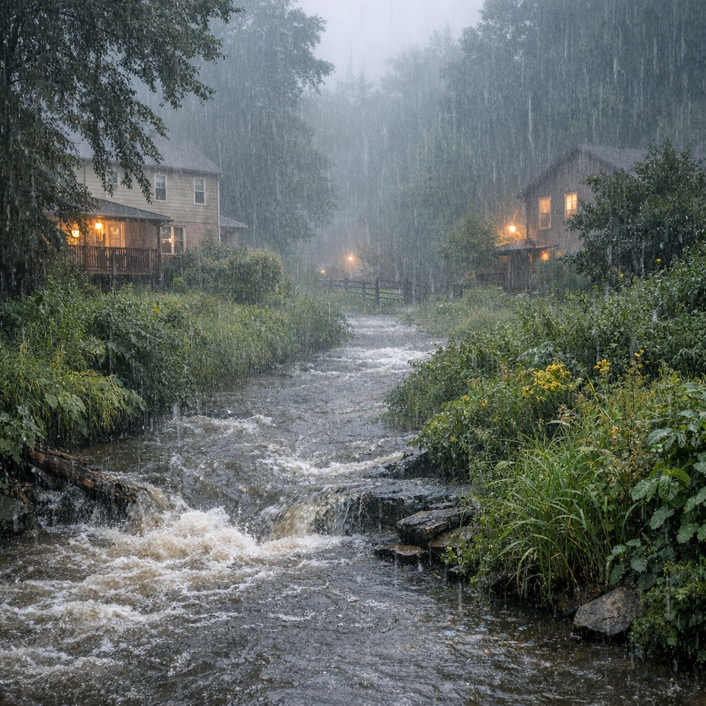
Like many parts of the Triangle and the broader Piedmont, Durham is experiencing more frequent extreme precipitation events—days when storm systems dump three inches or more in a short span. These events contribute to flash flooding, especially where drainage or development paths compromise natural waterways. Warmer nighttime temperatures are also becoming more common, exacerbating heat-related health risks.
Waterways, Floodplains, and Your Risk
Durham regulates development in floodplains and mapped floodways through its Unified Development Ordinance, aiming to reduce runoff risks, maintain stream buffers, and protect property and public safety. If you live in or near FEMA-designated flood zones—or are seeing water pooling more often in your area—you’ll want to check the Flood Risk Information System and Durham’s interactive maps.
How Watersheds Factor In
All stormwater runoff in our area drains into one of several key watersheds such as Falls Lake, Jordan Lake, New Hope Creek, or the Eno River. These waters are more sensitive than you might think—pollutants picked up in everyday runoff from lawns, roads, and parking lots travel downstream, affecting water quality and ecosystem health. Every community plays a role.
Environmental Rules That Help—and How to Live with Them
Durham’s ordinances include protections for riparian buffers (vegetated land alongside streams), steep slopes, wetlands, floodplains, and reservoirs. Trees are protected under tree coverage rules, and there are requirements for development in vulnerable areas. Before making changes to land or structures—especially near creeks or in low‐lying zones—check with city permitting departments.
Tips for Weathering the Storms & Seasons Ahead
- Keep gutters, ditches, and storm drains clear—leaves and debris can worsen flooding on public or private property.
- Know which floodplain or watershed your home is in—use the interactive maps or contact the city to find out.
- Plant native trees and maintain stream buffers—they help absorb stormwater, reduce erosion, and cool our neighborhoods.
- Check for extreme precipitation alerts during heavy storms—stay tuned to local forecast updates and take precautions during flash flood warnings.
- Stay aware of air quality during heat waves or wildfire smoke, especially for those with respiratory issues. Heat combined with nighttime warming can make relief harder to find.
Durham’s weather and environment are shaped by annual rhythms and changing trends. Understanding how our seasons work, what risks are rising, and what protections are in place can help us all live more safely—and more sustainably—in the Bull City.