

By Isabella Rodriguez
Cooler mornings, warmer nights: shifts in local temperature patterns
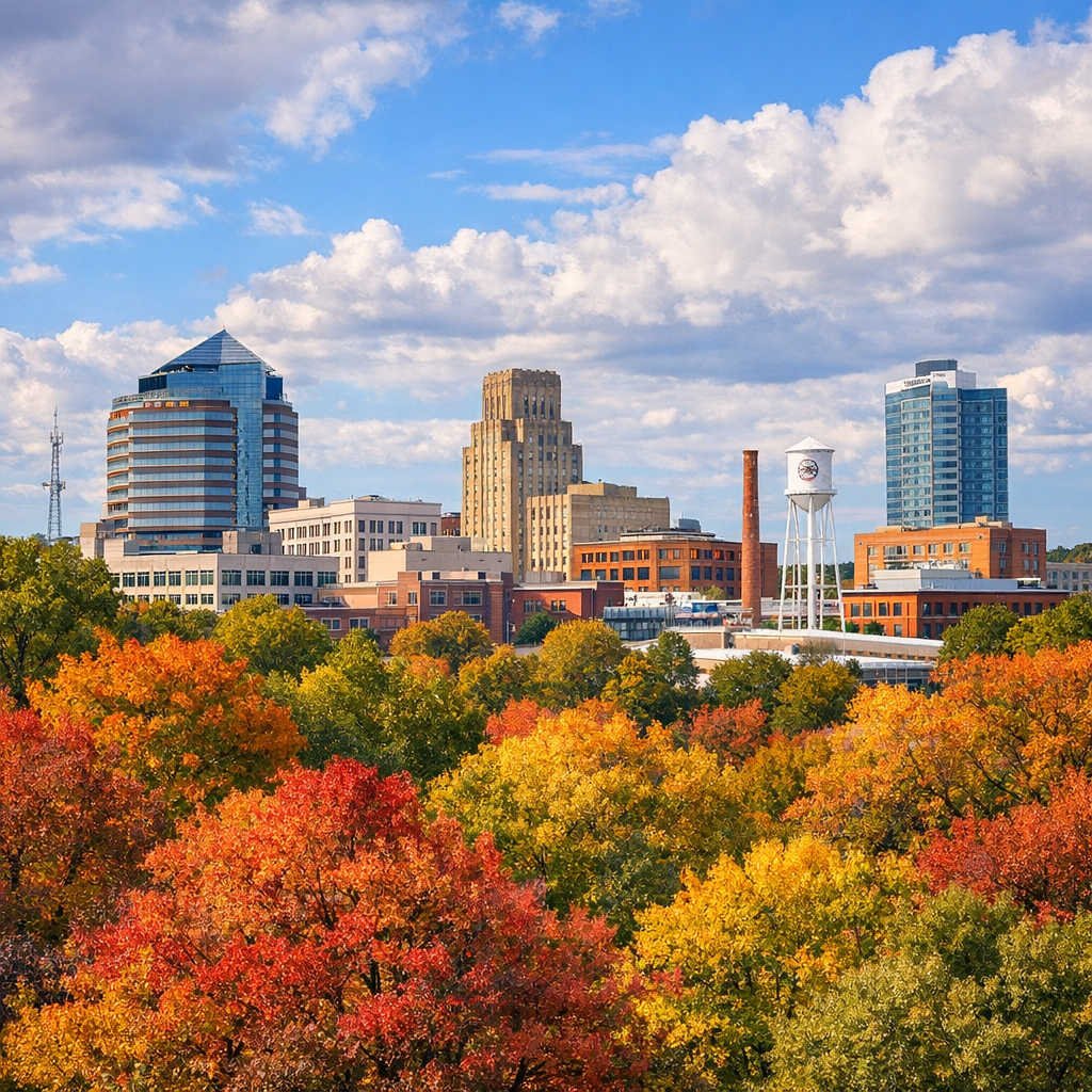
In Durham, the transitions between seasons are becoming more noticeable—not just in the colors of leaves, but in weather patterns. Fall historically brings high temperatures in the 80s°F down to around 60s, with overnight lows transitioning from the upper 60s into the 40s. Spring similarly ranges from the 40s toward the 70s°F during the day. While daily highs remain within familiar ranges, nighttime lows are increasing slightly, especially in winter, reducing the number of very cold days.
Rain and precipitation: when and how much
The fall months see decreases in rainfall compared to summer, but Durham still averages several inches per month throughout autumn and into spring. September tends to be among the wetter months, often with short, intense rainfall events. Winter brings less rain overall, though when it does fall, the ground can be saturated from prior moisture and warming effects, increasing runoff concerns.
Air quality, smoke, and remote effects
One emerging issue for Durham residents is air quality spikes—even when the smoke originates from distant sources like wildfires far from our region. These events, together with heat buildup and humidity, raise health concerns, especially for vulnerable people. Local initiatives are tracking air quality closely using low-cost sensors in neighborhoods, helping to inform when conditions may be unsafe.
Sea level, storms, and extreme weather trends
Although Durham is inland, the city is not immune to the wider climate pressures affecting North Carolina. Scientists report that as ocean temperatures rise, tropical storms and hurricanes are more likely to carry heavier rainfall and intensify faster. Coastal sea level rise also raises risk for storm surge, which can lead to more severe inland flooding after prolonged or intense events. Wildfire conditions too—though not typically local—can influence air quality and health here.
What Durham residents can do and expect
To stay ahead of these evolving weather and environmental realities, here are some suggestions for individuals and community groups:
- Monitor local forecasts and air quality indexes, especially during heat waves or when distant wildfires are active.
- Support and advocate for green infrastructure—tree cover, permeable surfaces, rain gardens—to reduce heat islands and manage stormwater.
- Plan outdoor time for early mornings or evenings during hotter months; layer clothing during transitional seasons.
- Engage with local government on resilience planning, flood prevention, and public health responses aimed at minimizing risks.
Change in the weather is often gradual, but its effects are real. As Durham adapts to its shifting climate and environment, staying informed and prepared can help us all stay healthier and safer.